This morning we started off with lots of cold rain with a little bit of a wintry mix in spots.
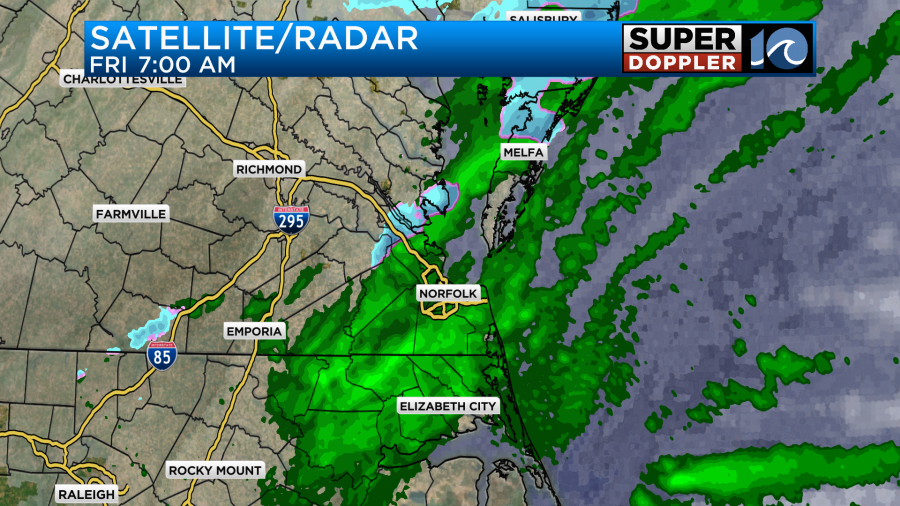
This scenario was more in line with the milder models of late. We have 2 weak areas of low pressure near the region.

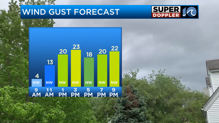
The warm front is more of a subtle stationary front really. However, the stronger cold front will sweep through the area though the day. The wind will pick up behind it. Gusts will be up to 25mph out of the northwest.
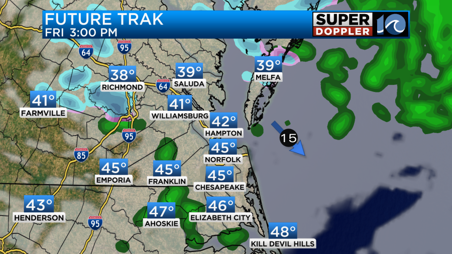
High temps will make it into the mid 40s this afternoon with upper 30s north of the metro. There will be spotty showers as well.
Even though temps will be well above freezing it will be chilly. Wind chills will be in the upper 20s to low 30s this afternoon.
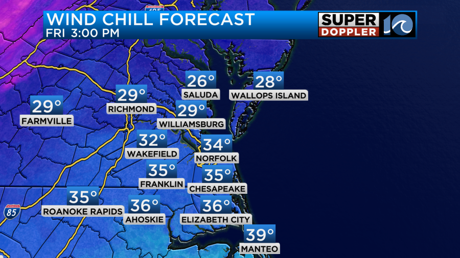
Keep in mind if you do get wet, then you will feel even colder with those winds blowing. This evening the low pressure system will be moving out to sea. The front will be dropping to our south. Temps will already be falling into the mid-upper 30s by 5-6pm.
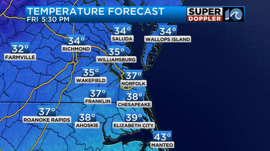
There will be some isolated to scattered showers with a few spots of wintry mix as well.

Any mix should melt by that time, but it could create some slick spots and distracted drivers during the evening commute. We’ll dry out after that. However, the models are now showing a band of light snow overnight over around Accomack county.
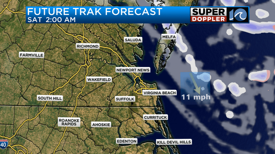
Some of this could be bay effect or bay enhanced. Temps will be cold enough for snow, and it will become cold enough for a little to stick. So there may be some light accumulations around the northern half of the Eastern Shore.
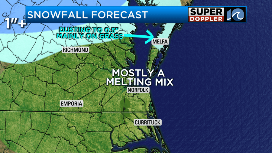
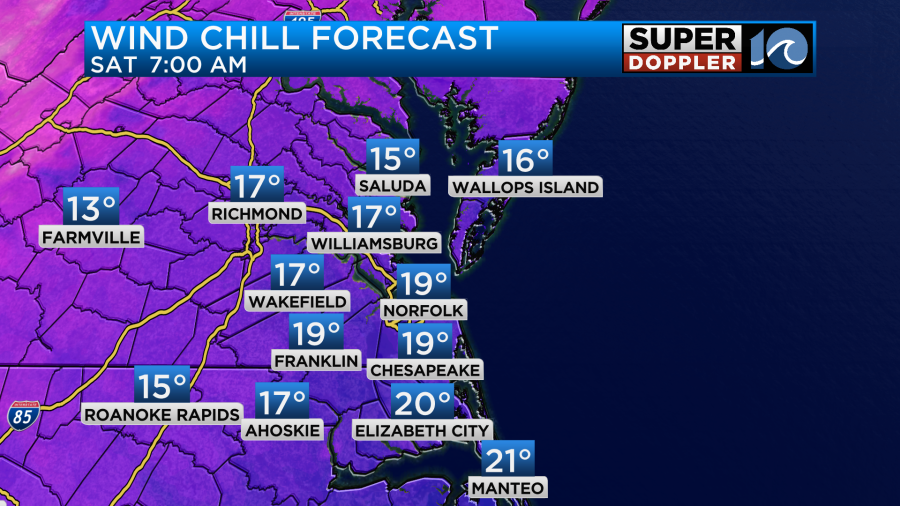
Other than that there will be some scattered flurries tonight as an upper level low slides overhead. There will be some clearing as well. Low temps will drop down to the 20s, but the wind chills will be in the teens by 7am.
Tomorrow we’ll have high pressure building in from the west at the surface. However, the upper level low will still be overhead. That will give us a mix of sun and clouds and possibly a few flurries. Winds will be gusting up to 25mph out of the northwest. This will keep the cold air pouring into the region. So high temps will only make it into the low-mid 30s.
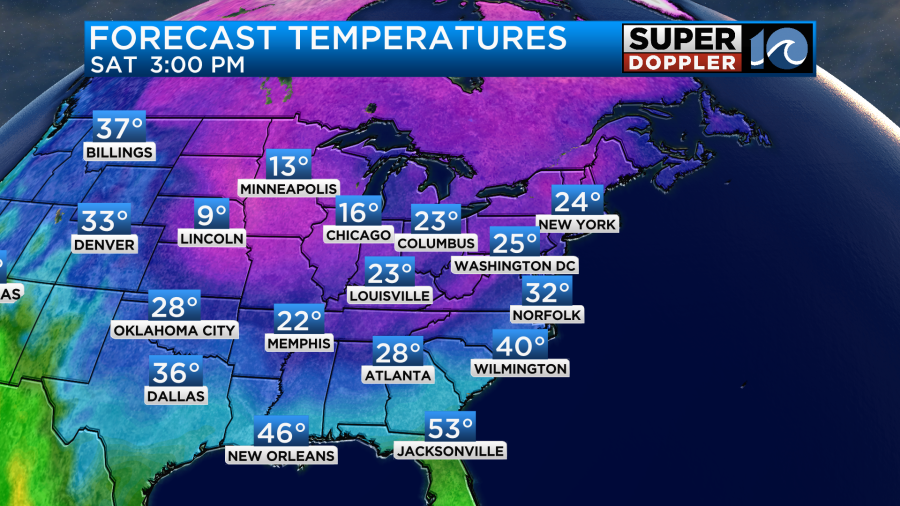
The wind chills will be in the 20s even in the afternoon. Again, with the upper level low still lingering, there may be some flurries during the day. The higher chance for those will be closer to the shore. However, I don’t expect any accumulations from those.
We’ll be dry and cold on Sunday. The upper level low will be gone. So we’ll have lots of sunshine. However, high temps will only make into the upper 30s.
After that we’ll have a steady warmup next week. High temps will be in the 40s on Monday, 50s on Tuesday, and possibly near 60 on Wednesday.
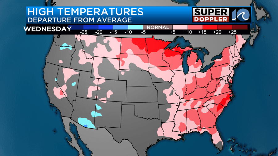
In that same vein… While we recently had an arctic blast of air over the U.S. over the last couple of days. There is a big reminder that we’ve really been mild up to that point. In a recent article NASA just verified that 2023 was the warmest year on record. Global temperatures were about 2 degrees above the long term average. Yep! Here is the article with more information: NASA confirms warmest year 2023.


