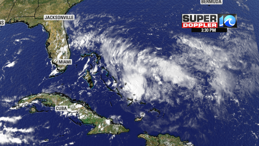
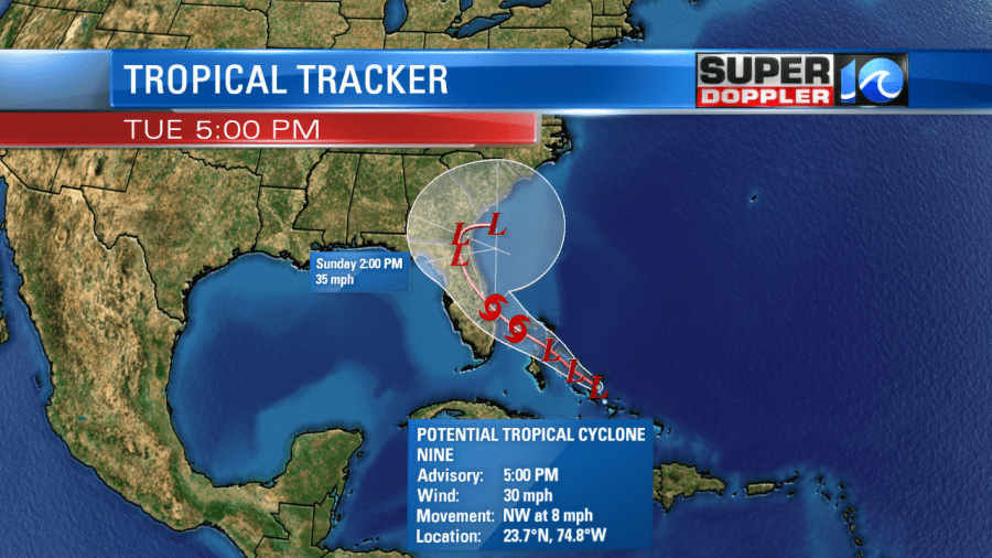
As of 5 PM, the National Hurricane Center has put out it’s first update on Potential Tropical Cyclone Nine. If this this storm continues to strengthen, then it could become Humberto. Now, lets talk about how this storms looks on satellite:

The storm remains to look disorganized and spread out over a large area. The area of most interest is the bright clouds in the center of the image.

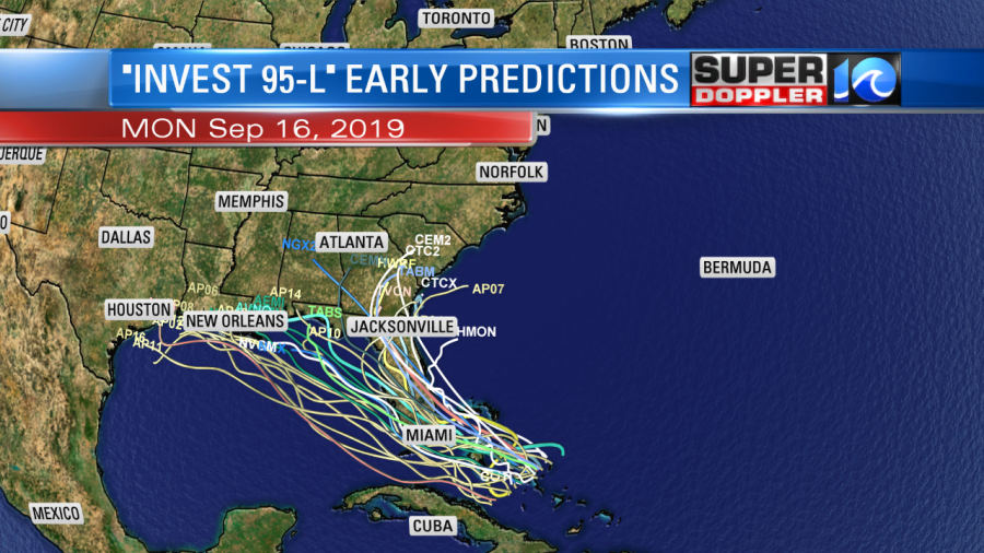
Computer models are all over the place on this storm. The GFS brings it over Florida and has it fading away in the Gulf of Mexico, the ECMWF (Euro) brings it up along the coast following the path that Dorian took. Which one is right? Neither right now, we simply cannot trust either solution since there isn’t much in consistency and timing. Once we can get that, then we will have a better long term handle on where this storm will go.

The early predictions from all of our models does bring it towards Florida in the next 48 hours, after that…stay tuned!
Meteorologist Jeff Edmondson


