Update:
Things remain mostly clear, calm and quiet through our evening as temperatures drop into the 30s. Changes are then set to move in tomorrow as the clouds slowly trickle in through sunrise. Expect increasing clouds throughout the day as scattered showers should move into Hampton Roads in the afternoon, taking us through the evening. A few pockets of heavy rain are expected, as well as a few strong thunderstorms. Be sure to stay weather aware, the highest risk of strong to severe thunderstorms Wednesday looks to be for northeast North Carolina by the late afternoon & evening hours.
It’ll become breezy through late morning, then turning windy by the afternoon. Southerly winds will gust to 30-35mph, pumping in some mild, if not warmer, air. Temperatures will go from the 30s in the early morning to the low 60s by the evening. It’ll likely stay in the low 60s well after sunset.
The trailing cool front then sweeps the region overnight, clearing out the rain and bringing in a fresh breeze Thursday. Things should remain cool and dry from late week into the weekend.
Meteorologist Steve Fundaro
______________________________________________________________________________________________________
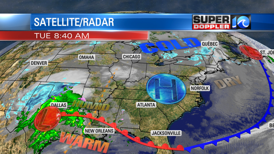
Locally today we are going to have a nice day! We have high pressure locked into the region, and this system will bring us a lot of sunshine with a light southwest wind.
We started the morning with lots of sunshine, but it was cold.
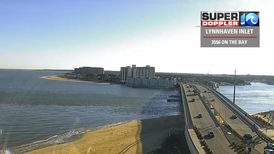
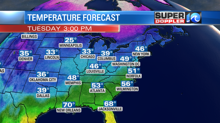
Temps were in the 20s and 30s. The ample sunshine will warm us up today into the low 50s with some upper 40s north of the metro.
While we enjoy a quiet day here it will not be quiet across the Gulf Coast states. The area of low pressure will be strengthening down there with a strong warm front lifting north. This will create a lot of showers and storms south of the system this afternoon.
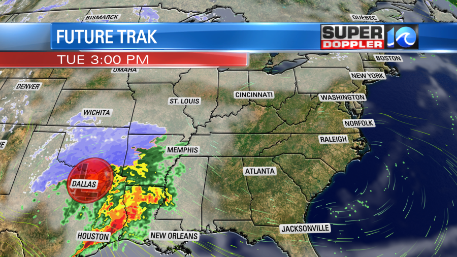
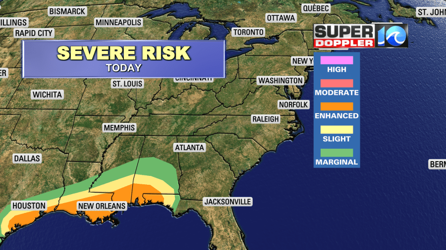
Some of the ingredients will be there for strong tornadoes. There will be a lot of instability (CAPE), decent wind shear, and general/broad rotation. That doesn’t even include the chance for severe winds and hail. So they have an enhanced risk for severe weather down there today.
On the north end of the system there will be some snow and potentially some heavy snow.
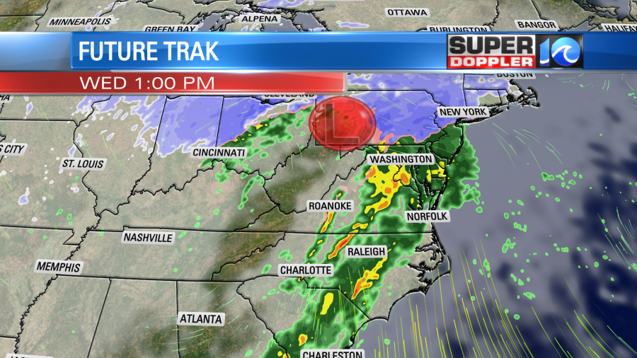
Tomorrow that area of low pressure will move to the northeast. It won’t move through our region, but it will pass to our north/northwest.
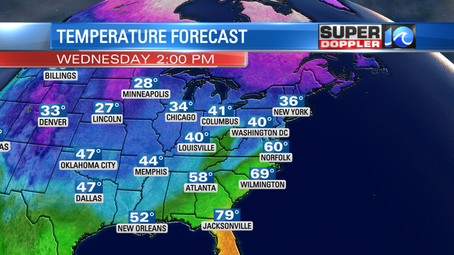
We’ll have a strengthening southeasterly wind during the day. Gusts will be up to 30mph during the afternoon. A strong warm front will move up from the southeast. This will push our high temperatures up to near 60 degrees.
The moisture will increase rapidly. So we’ll have increasing clouds with an increasing chance for rain. Scattered showers will start up around midday, but the rain will increase in coverage during the afternoon.
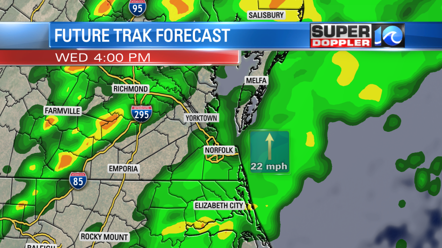
There could be some heavy downpours mixed in with the bigger area of rain. This could impact the evening commute. Along with that there could be some severe gusts of wind. With the southeast winds at the surface, there could be some broad rotation here. Hence there is a limited threat for isolated tornadoes. As of this writing about half of our viewing are is in a slight risk.
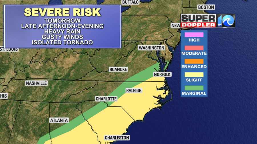
This risk could be adjusted before tomorrow. So check back for updates. By Thursday the low will move up into the northeast states. We will dry out and cool down a bit here. Highs will be in the mid 50s with clearing skies. Then we’ll be dry and chilly on Friday. Highs will only be in the upper 40s.
The weekend forecast looks pretty decent with mostly dry weather and highs in the 50s. I’ll have more on that tomorrow.
There is some good news for regional ski lovers. There is going to be a large swath of snowfall to our north and west over the next 3 days. The snow will fall over some of the ski resorts in Virginia and West Virginia.
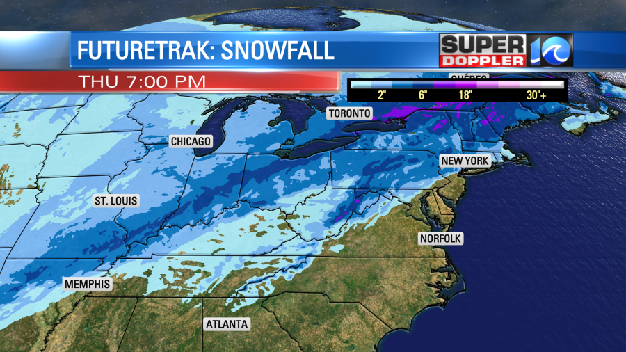
It could be a nice fresh powder over there later this week. We won’t have any of that here though. Sorry!
Meteorologist: Jeremy Wheeler


