Yesterday was a chilly November day. We had a colder air mass sink into the region again. So our high temps only made it into the 40s as forecast. It was a little rough for mid-November. However, we will start warming up over the next few days.
Today we have high pressure locked-in to our west. A strong cold front is stalling out offshore.
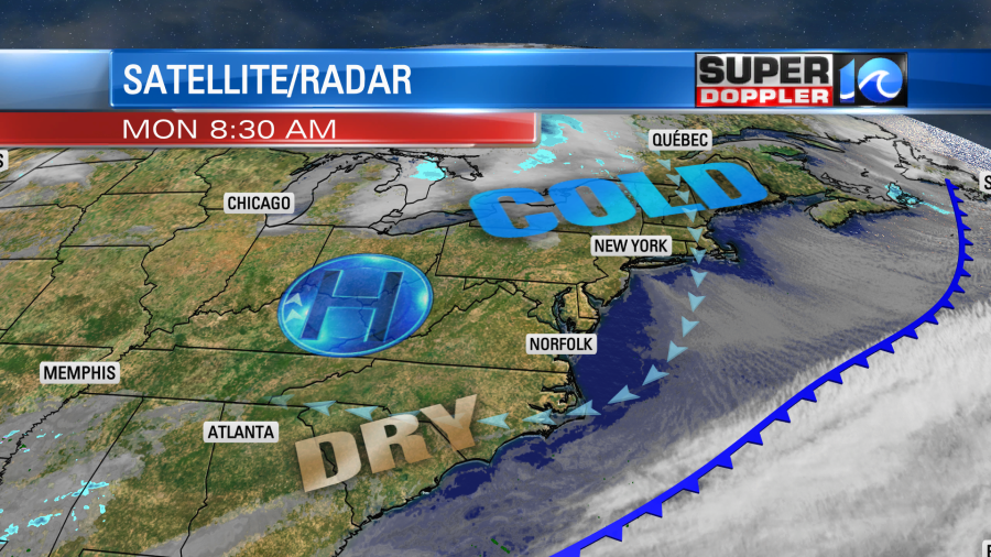
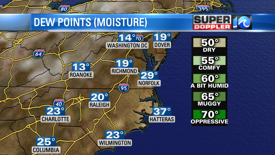
We have some super dry air in place for this time of year. Dew points are only in the teens and 20s.
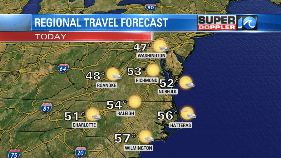
The strong high pressure and very dry air will create a lot of sunshine in our region. Winds will be out of the east and then south. So high temps will be in the upper 40s to low 50s today. It should be good for travel.
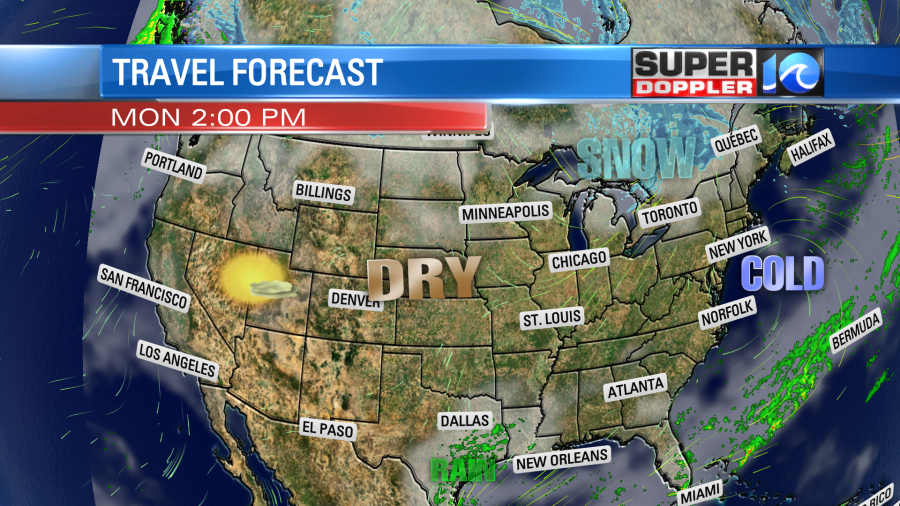
In fact…it should be good weather for travel for most of the country. Even the big lake-effect snow machine has finally wound down.
Our region will be dry again tomorrow. High temps will rise a little bit more. They will aim for the mid-upper 50s.
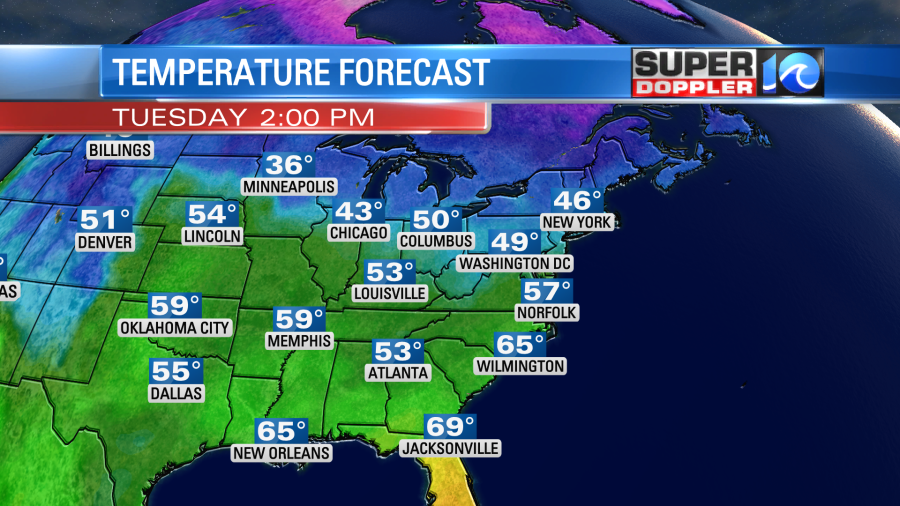
We’ll warm up even more on Wednesday with highs in the upper 50s. Skies will be partly cloudy. Then we’ll be near 60 on Thanksgiving with partly cloudy skies. It should be pretty nice out. Friday’s weather is tricky! The GFS model has really dried out the Friday forecast. This morning’s run barely has any rain in the region. However, the European model has a lot of rain moving in. It’s still a bit early to see which model has the better handle on the forecast. For now I’m going with a low chance for a shower. I’ll have an update and more details on it in tomorrow’s weather blog. At least both models look mild. High temps will be in the low 60s or near 60.
Meteorologist: Jeremy Wheeler


