This article is no longer being updated. Please visit our Tracking the Tropics page for the latest updates.
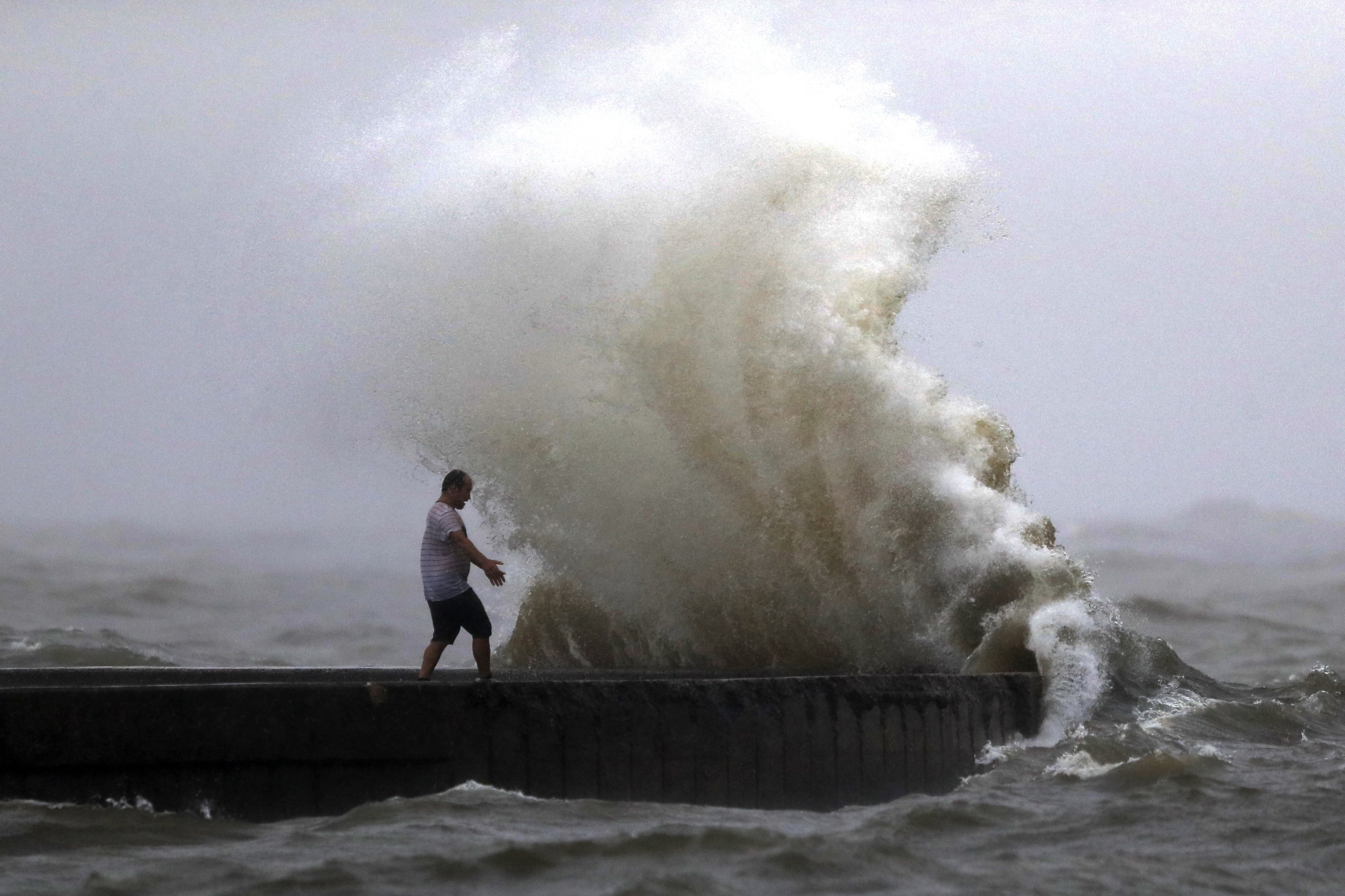
TAMPA, Fla. (WFLA) — A hurricane warning and storm surge warning was issued for Tampa Bay Monday afternoon as Hurricane Ian strengthened into a Category 2 hurricane, the National Hurricane Center said.
The NHC said that Ian strengthened into a Category 2 hurricane. At 11 p.m., it had maximum sustained winds of 105 mph and was moving north northwest at 13 mph, with hurricane-force winds extending outward up to 35 miles from the storm’s center.
The National Hurricane Center said that rapid strengthening is expected during the next day or so. Ian is forecast to become a major hurricane on Monday night or early Tuesday as it nears western Cuba. It is expected to remain a major hurricane over the southeastern Gulf of Mexico on Wednesday.

The center of Ian is expected to near western Cuba Monday night and early Tuesday before it emerges over the southeastern Gulf of Mexico on Tuesday. It will then pass west of the Florida Keys late Tuesday, and approach the west coast of Florida on Wednesday into Thursday.
“The latest forecast slows the storm’s forward motion off our coast on Wednesday. That means a more prolonged wind and rain event, possibly bringing more damage and flooding,” said Storm Team 8 Meteorologist Leigh Spann.
Tropical conditions will likely affect the area from Wednesday morning through Thursday and will ease on Friday morning, she added.
Hillsborough County issued a mandatory evacuation order for residents living in Zone A, Manatee County issued a mandatory evacuation for Zone A residents, and Pinellas County issued a mandatory evacuation for people living in zones A, B, and C. Sarasota County officials called for the evacuation of Level A.
The hurricane watch means those in the area could see hurricane conditions (maximum sustained winds of 74 mph or higher) in the next two days. The watch is typically issued 48 hours before the anticipated first occurrence of tropical-storm-force winds, the NHC said.

There is also a storm surge watch in effect for parts of the Tampa Bay area, including Sarasota, Venice and Englewood. The areas could see 5 to 8 feet of storm surge in over the next 48 hours.
According to the NHC, water could reach the following heights above ground in the following areas:
- Anclote River to Middle of Longboat Key, FL including Tampa Bay —5-10 ft
- Suwannee River to Anclote River — 5-8 ft
- Middle of Longboat Key, FL to Englewood, FL — 5-8 ft
- Englewood, FL to Bonita Beach, FL including Charlotte Harbor —4-7 ft
- Bonita Beach, FL to East Cape Sable, FL —3-5 ft
- Flagler/Volusia County Line, FL to Altamaha Sound including St. Johns River — 2-4 ft
- East Cape Sable, FL to Card Sound Bridge, FL including Florida Bay — 2-4 ft
- Aucilla River to Suwannee River — 2-4 ft
- Florida Keys including the Dry Tortugas — 2-4 ft
- Indian Pass, FL to Aucilla River — 1-3 ft
The storm could dump six to 12 inches of rain on portions of Central West Florida with some areas seeing isolated amounts of 20 inches, the NHC said. The rest of central Florida could see four to eight inches of rain.
The NHC also said northwest Florida could see six to 10 inches of rain with isolated maximum totals of 12 inches while southern Florida could see four to six inches of rain with local maximum totals up to 10 inches
The Florida Keys and parts of South and Central Florida could see a few tornadoes Monday night and Tuesday, the NHC said.
The following watches and warnings are in effect at this time.
A Hurricane Warning is in effect for:
- Cuban provinces of Isla de Juventud, Pinar del Rio, and Artemisa
- Englewood to the Anclote River, including Tampa Bay
- Dry Tortugas
A Storm Surge Warning is in effect for:
- Anclote River southward to Flamingo
- Tampa Bay
A Tropical Storm Warning is in effect for…
- Cuban provinces of La Habana, Mayabeque, and Matanzas
- Lower Florida Keys from Seven Mile Bridge westward to Key West
- Flamingo to Englewood
A Storm Surge Watch is in effect for
- Florida Keys from the Card Sound Bridge westward to Key West
- Dry Tortugas
- Florida Bay
- Aucilla River to Anclote River
- Altamaha Sound to Flagler/Volusia County Line
- Saint Johns River
A Hurricane Watch is in effect for:
- North of Anclote River to the Suwannee River
- Bonita Beach to Englewood
A Tropical Storm Watch is in effect for
- Florida Keys from Seven Mile Bridge to the Channel 5 Bridge
- Lake Okeechobee
- North of the Suwannee River to Indian Pass
- Jupiter Inlet to Altamaha Sound
Other areas to watch
The NHC is also monitoring a broad area of low pressure in the Atlantic off Africa. The system has a 70% chance of becoming a tropical depression sometime this week.
The center issued its final advisory on Tropical Storm Gaston after it dissipated early Monday.


