We are coming off of a wet weekend, and that was a great thing! I’ll admit… My Friday forecast for Sunday was a BUST! I called for only a few showers early…. It ended up raining all day. However, the other WAVY mets did a good job of updating the forecast after my shift, and they caught it. Luckily we did get some very beneficial rains over the region. In general we picked up about 0.75-2″ over the region. Some had a little more. Some a little less.
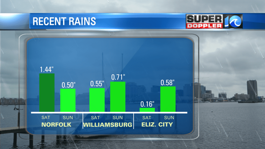
Scott in Yorktown had 0.69″ on Saturday and 0.36″ on Sunday. At least the rain was light yesterday, and it got a chance to soak into the parched ground.
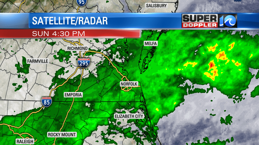
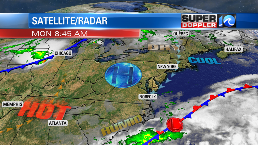
The showers overnight turned into some scattered drizzle this morning for the AM commute. The high humidity had stuck around. A stalled out front is sitting to our south/southeast today. A weak area of low pressure sits along the front. Meanwhile high pressure is trying to edge in from the north.
After clouds and some patchy drizzle this morning we’ll have gradual clearing this afternoon. High temps will be near 80 degrees. We’ll have a light northeast wind. The average high temp for this time of year is near 90.
Tomorrow we’ll have lots of sunshine with a southwest wind. That’s a recipe for for heating temps. So we’ll rise to the low 90s during the afternoon.
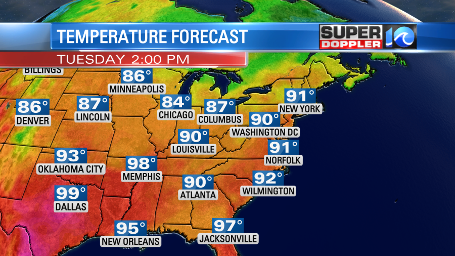
keep in mind that the heat index will be in the mid-upper 90s.
A cool front will approach the region on Wednesday. We’ll be warm and humid before it gets here with highs in the upper 80s. Then some scattered thunderstorms will move into the area, and they could cool us down. We’ll have more clouds with scattered showers and storms later this week with highs in the 80s. However, I don’t want a repeat of last week’s forecast. So I’ll say that I have a low confidence past Wednesday for now.
There is a high threat for rip currents at the local beaches today (until this evening from Virginia Beach down to Hatteras). It’s not from any tropical systems. It’s just from the long northeast fetch offshore.
However, in the tropics there is a weak disturbance near the Gulf Coast.

It has a low chance of formation over the next few days. Regardless, they will probably have some heavy rain down there over the next 2-3 days. Other than that the Atlantic is quiet.
Meteorologist: Jeremy Wheeler