A cool front is moving into the region today. This is the first in a line of 3 fronts that will swing through the area over the next 3 days.
This morning we even had some fog develop as the front dropped south. The cool front will sink a little more to the south, and then it will stall out today.
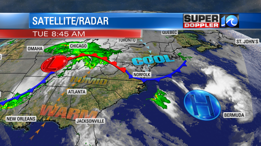
Due to the front stalling out, we’ll be cooler over a big chunk of the region, but some locations will stay pretty warm. We’ll be in the 60s near the shore and on the Eastern Shore. We’ll be in the low 70s over much of the metro. Then we’ll be in the upper 70s to near 80 inland/south.
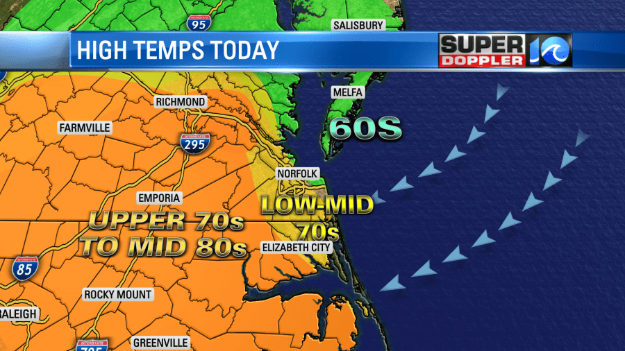
We’ll be partly cloudy with more clouds and some fog where the cooler temperatures sit. There will be a few showers and storms forming inland this afternoon near the front. They will try to push east into the metro later in the day. The cool layer will stabilize any storms that try to move east, but there could be a couple of strong storms in the warmer areas. This may happen more into the evening compared to the afternoon.
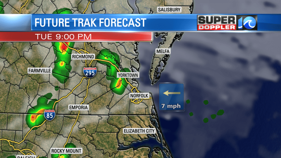
The front will move back north as a warm front tonight into tomorrow. The whole area will warm up. We’ll have high temps in the 80s Wednesday.
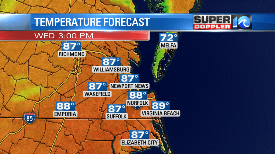
We’ll be partly cloudy through the day with some isolated showers. Then we’ll have a cluster of thunderstorms during the late afternoon and early evening.
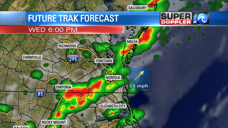
Some heavy rain and gusty winds will be possible during that time. This will be as a stronger cold front enters the area. So high temps will get knocked down to near 70 on Thursday. Temps will probably be more uniform compared to today. We’ll have a mix of sun and clouds with only some isolated showers. By Friday a big area of low pressure will enter the region from the west. It will likely create a large area of rain.
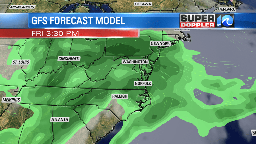
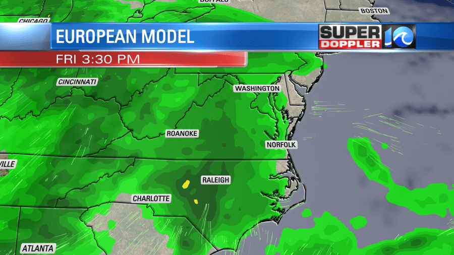
So while we may see some scattered showers and storms over the next couple of days, it might be Friday when we get the good soaking rain that could help with the drought.
I’ll talk more about this and the weekend forecast in tomorrow’s weather blog.
Meteorologist: Jeremy Wheeler
