A lot of times in the past we would use a negative term for today’s weather. It’s gray…It’s wet…it’s raw…it’s nasty. But the truth is that we need the rain so badly that many folks are probably jumping up-and-down about today’s rainfall.
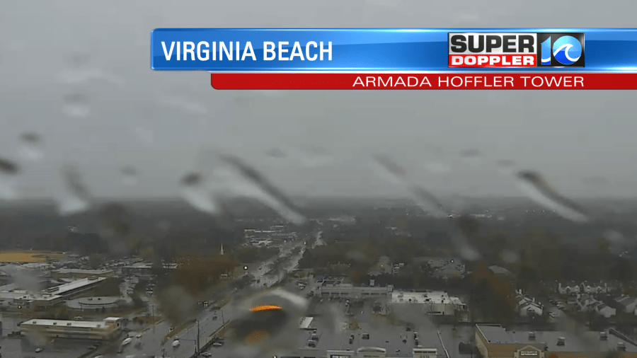
The rain showers moved in early this morning. It did cause some slow downs during the am commute. It was mostly light, but it was heavy in some spots.
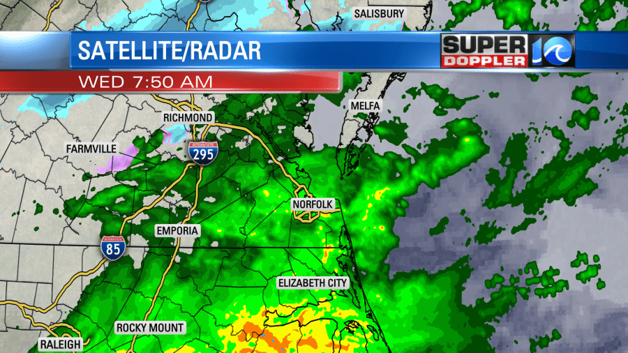
There is a stationary front to our south along with a couple of weak areas of low pressure which are moving along the boundary.
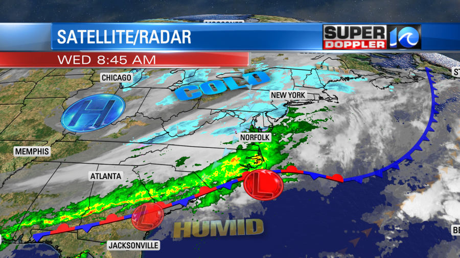
In the upper levels there is a big dip (trough) in the jetstream overhead along the eastern U.S. with a rise (ridge) in the west.

This combination is pushing moisture up over a colder airmass, and that is creating a line of rain north of the front. This will keep moving into our region as the closer low moves northeast and offshore. So expect rain and chilly temps through midday and the mid afternoon.
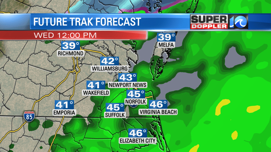
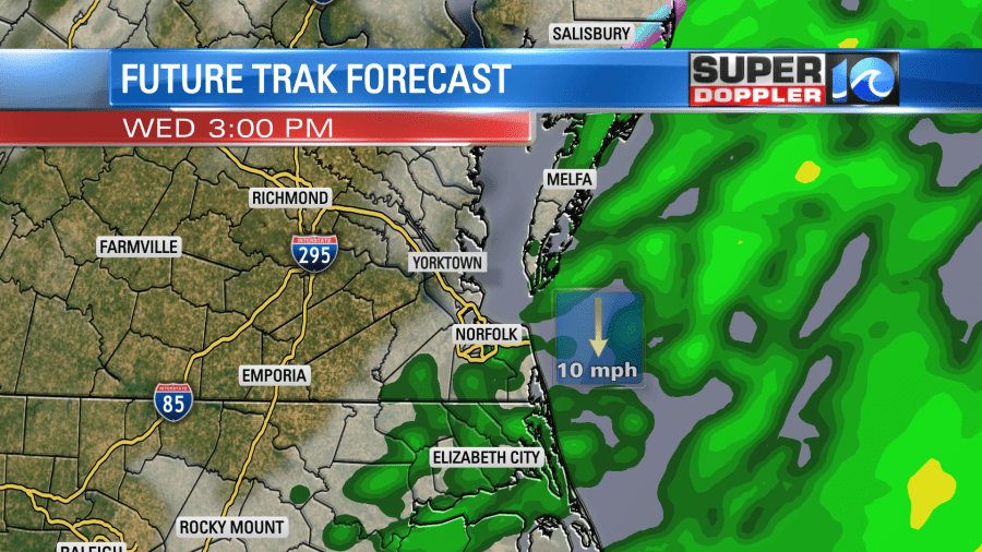
Temps will be stuck in the 40s all day. At least the wind will be fairly light. It will be out of the northeast at 8-12mph.
The rain showers will taper off between the late afternoon and early evening. Then we’ll clear out tonight. Low temps will drop down to the upper 20s to low 30s. We’ll probably start with some frost. There will be sunshine in the morning, but clouds will build through the day. High temps will only rise to the upper 40s to near 50. We’ll warm up by Friday. High temps will rise to the 60s. In fact it will be seasonably hot for parts of the South and Deep South.
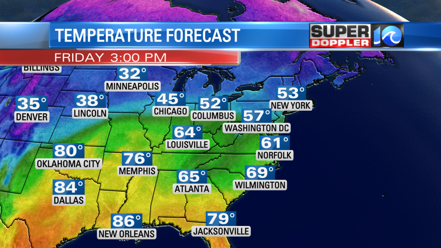
We’ll have a mix of sun and clouds with some isolated showers possible.
By Saturday we’ll have a strong push of warm air up along the east coast. Winds will increase out of the south. So high temps will rise to at least the low 70s. Some models are calling for upper 70s to near 80. We’ll see. We’ll have increasing clouds with some isolated late day showers. However, there will be a lot of rain moving in with a cold front Saturday night.
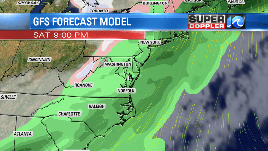
This should move out by mid-Sunday morning. High temps will drop to the 50s with clearing skies. The timing of that precip has changed in the last 24 hours. So stay tuned for updates if you have outdoor weekend plans.
I won’t go into detail about the drought that we are currently in as I’ve been talking about it a lot lately.
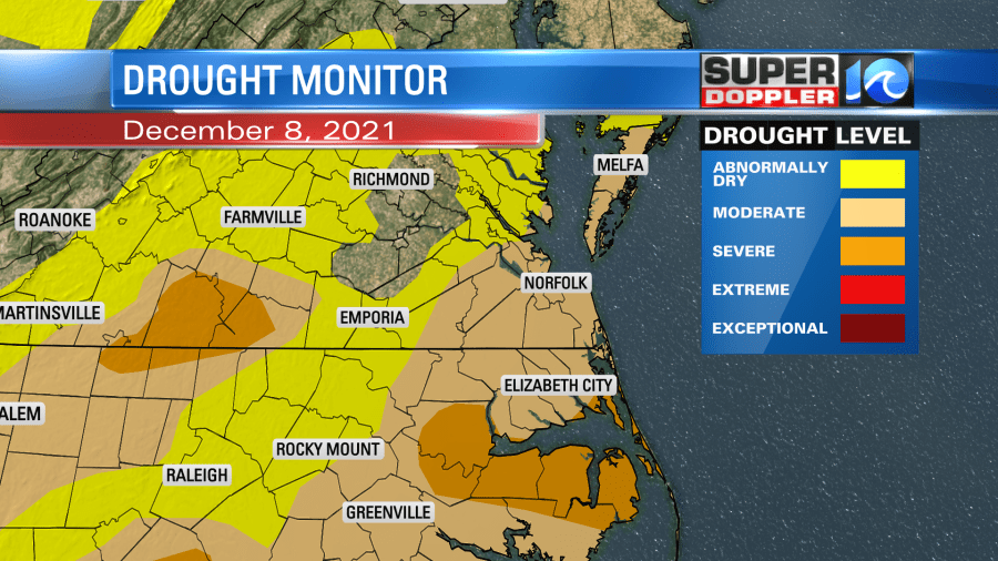
However, I will talk about today’s rainfall. I think we could get about a quarter to 3-quarters of an inch of rain from Virginia Beach/Suffolk southward. We’ll probably have a tenth of an inch from Newport News to Cape Charles and Northward.
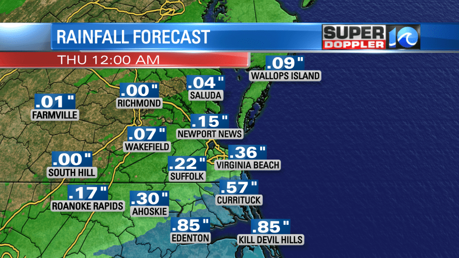
Some forecasts are calling for an inch or so by Saturday night. Stay tuned for updates.
One last thing…I didn’t post it yesterday, but there was a strong storm system that brought heavy rain and flooding to Hawaii the other day. It also brought heavy snow to the higher elevations of the Hawaiian islands.
Meteorologist; Jeremy Wheeler


