The remnants of Ida created a lot of flooding over the northeast states over the last 24 hours. New York City had a Flash Flood that created havoc over the area.
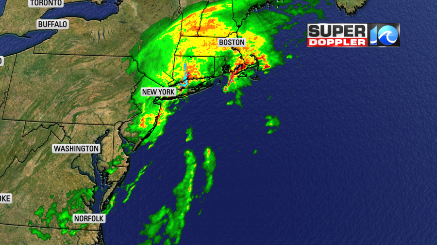
There was even a tornado in southern New Jersey that looked like it dropped out of a storm in the Midwest. Now the remnants of Ida are finally heading offshore. It was non-tropical since yesterday. A cold front was attached to it which has now dropped to our south.
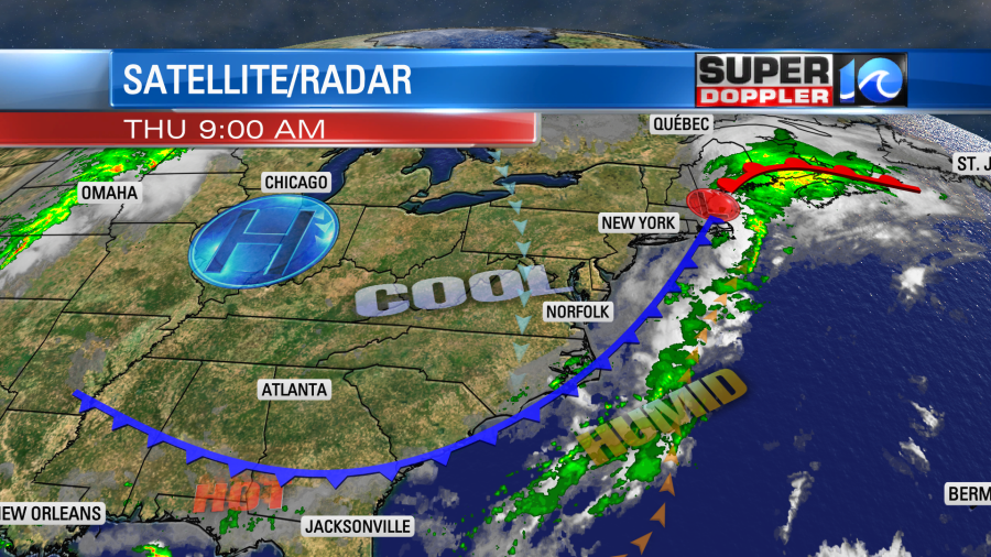
We had some spotty showers early this morning, but most of them have dropped to the south. We’ll have lots of dry air sinking into the region through the day. Then we’ll stay pretty dry for the next few days.
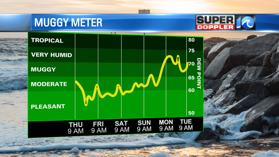
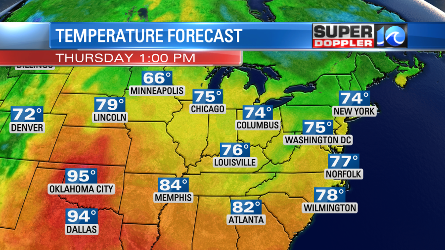
We’ll have clearing skies through the day with high temps in the upper 70s to near 80 degrees.
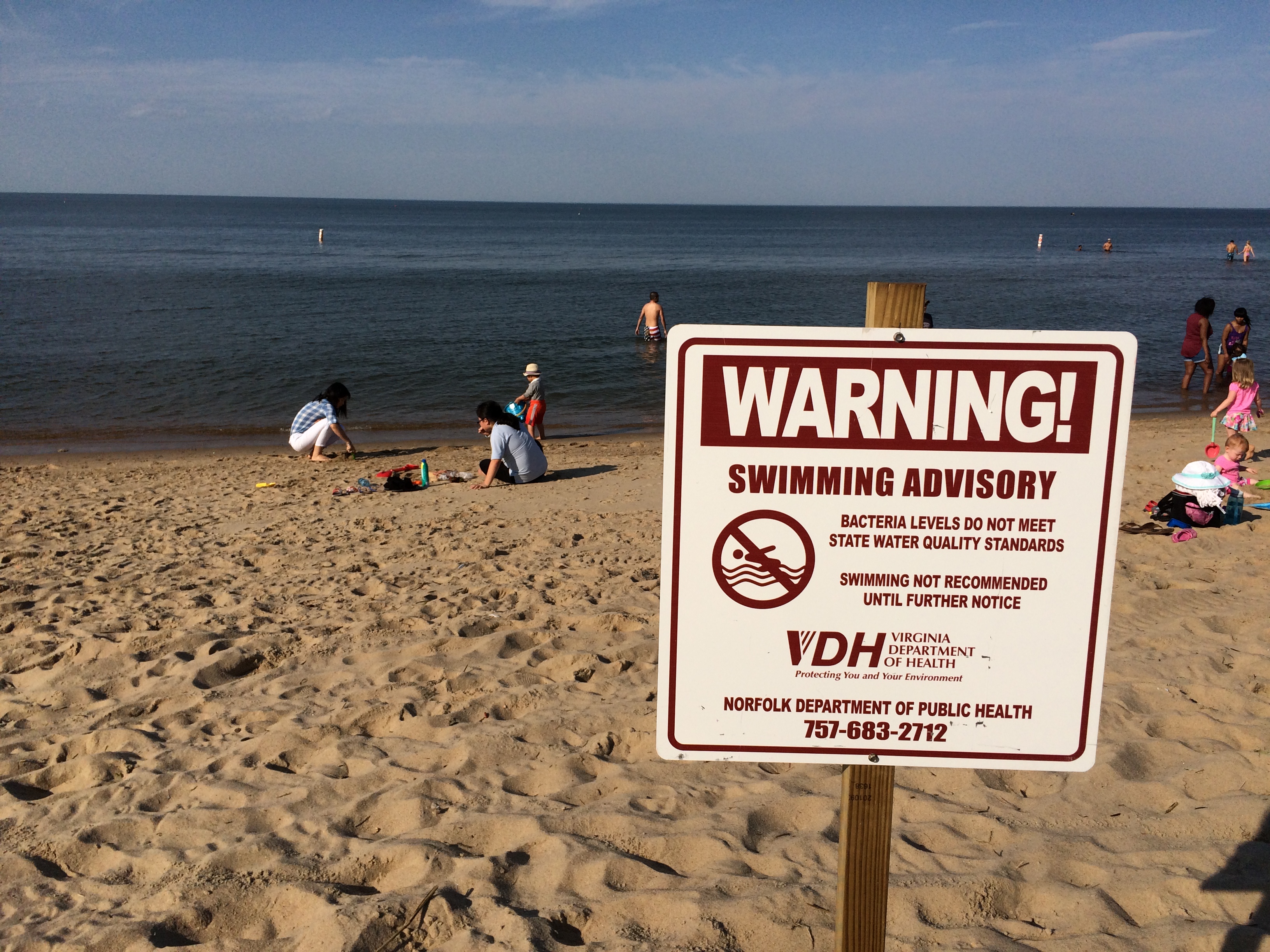
The only real problem will be the wind. It will be out of the north at 10-15mph with gusts to 25mph. Well, there is another problem if you are heading to the beach. There is a high threat for rip currents. I was down at the beach yesterday. There was some pretty rough surf. Plus the long-shore current was about as strong as a rip current. Luckily it only pushed me down the beach.
Tomorrow we’ll have some great weather! We’ll have mostly clear skies through the day. Temps will start in the 60s, but there might be a few upper 50s inland. Wow! Then we’ll top off near 80 tomorrow afternoon. With the dry air in place it should feel great! We’ll have more nice weather on Saturday and Sunday with dry air and highs in the 80s. There might be some isolated showers on Labor Day, but the chance is low.
Ida may be done with the U.S. but the tropics are still busy.
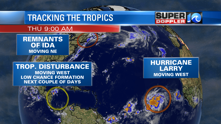
There is a weak disturbance near Central America. However, it has a low chance of formation in the short term. (It is possible that it will make it to the Gulf of Mexico in a few days though).
Then there’s Larry…. Larry. Larry became a hurricane this morning. It was located over the central/eastern Atlantic, and it was moving to the west. It is likely going to strengthen over the next few days. It is forecast to become a major hurricane as it moves to the west/northwest.
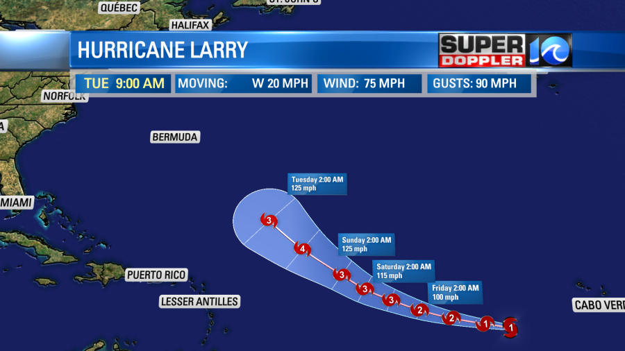
If you extend the track from there in a straight line, then it might hit Bermuda. However, the bulk of the computer models have it hooking more to the north and then northeast.
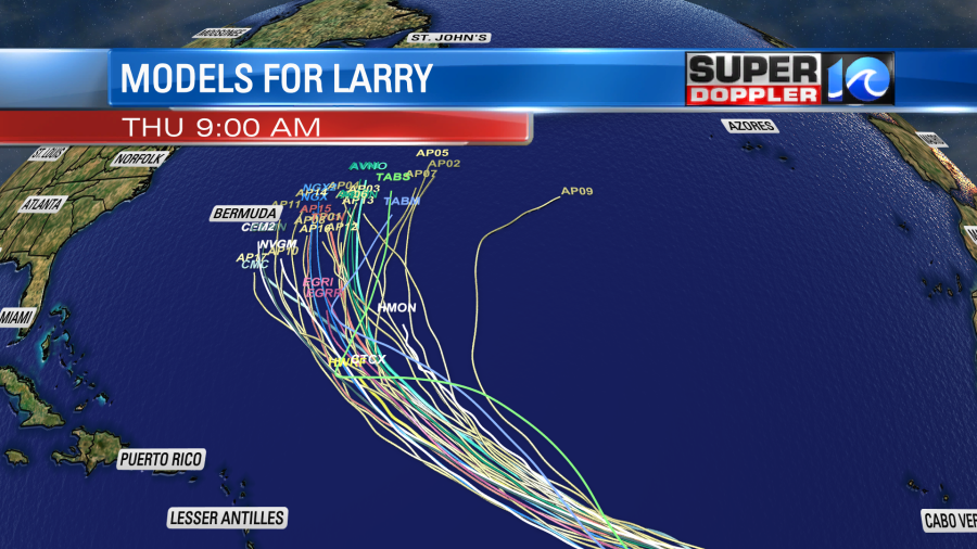
So the consensus is a track that lies east of Bermuda. We’ll see. It’s still pretty far out. So we’ll follow it closely over the next few days.
Meteorologist: Jeremy Wheeler


