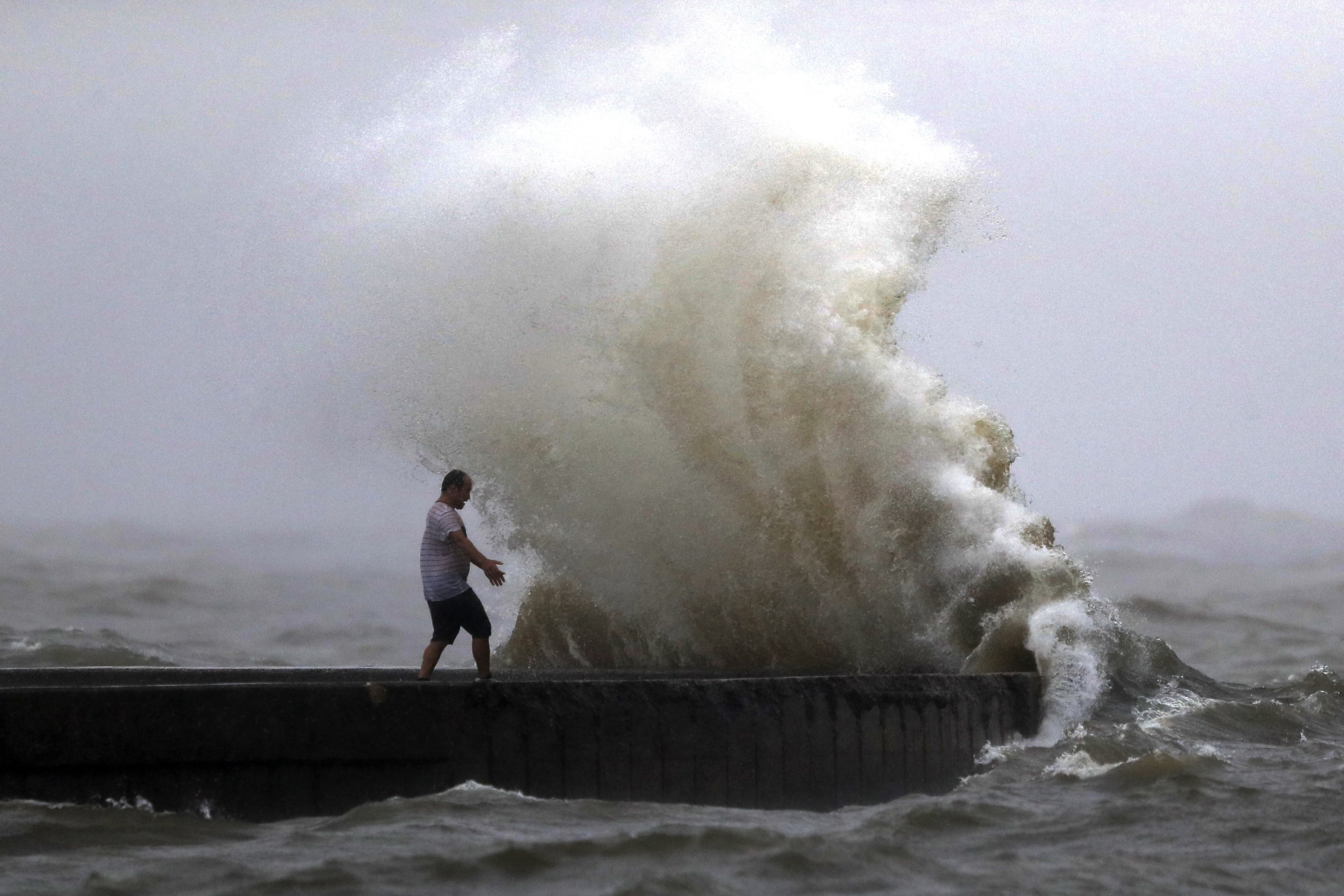
Ida is causing widespread flooding for areas off to our Northwest, but locally we are dealing with some showers and storms. This is due to Ida but also a cold front that will be moving through. Radar has some scattered showers now, so keep a close eye on it through the rest of the evening.
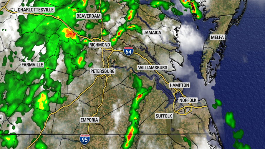
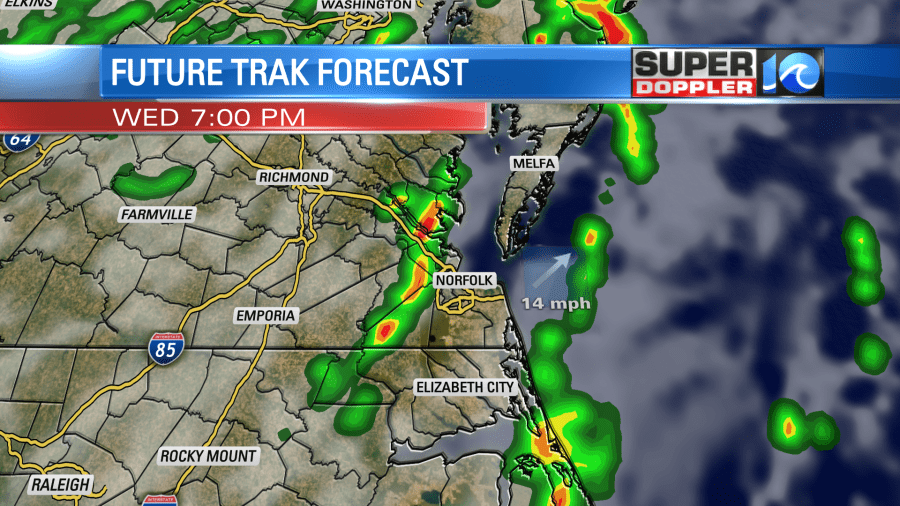
Through the rest of the evening, there will be a few more showers and storms popping up. Some could cause a quick spin up, so that is what we will be watching for.
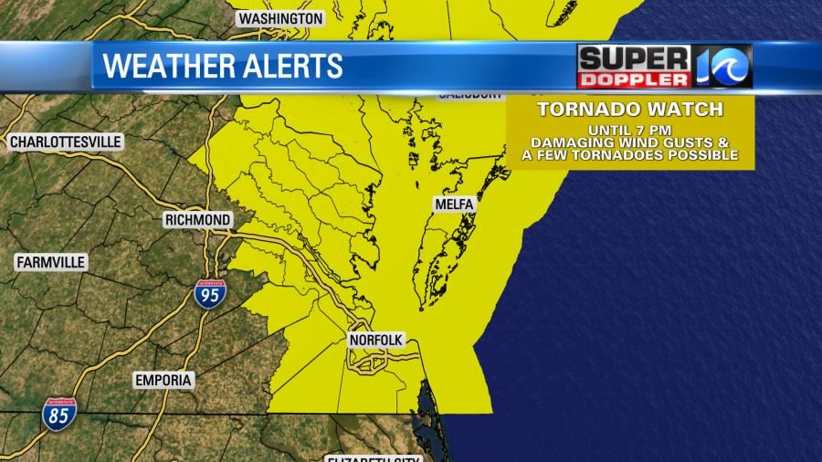
A Tornado Watch was issued earlier today, but since then some areas have been taken off of the watch. That means the ingredients are there but waiting for the storms to come together. Here are the areas that are still in the watch:
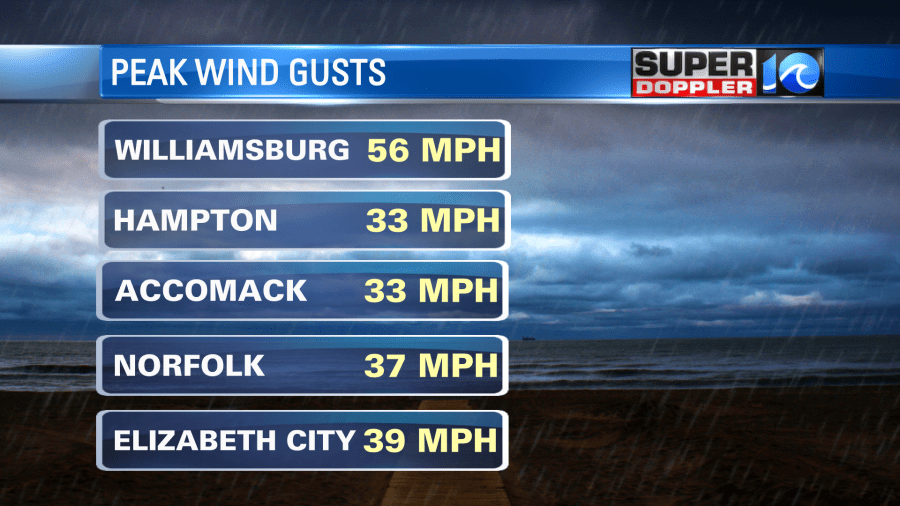
The wind has picked up within some of these storms. Here are some totals so far:
The wind direction will change as this cold front moves through, and that will bring us some much cooler air for tomorrow! High temperatures only in the upper 70s. That will be a much needed change!
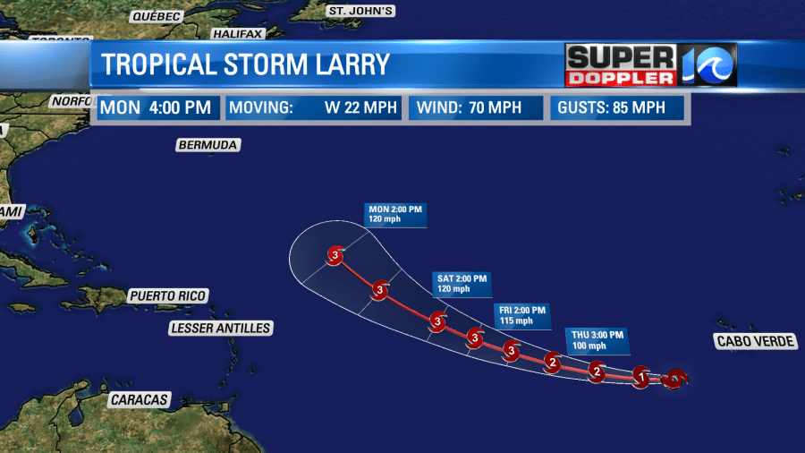
In the tropics, Kate has weakened and is staying out to sea. Larry is the newest tropical storm and is rapidly strengthening! It is expected to become a hurricane tonight and over the next few days it could become a major hurricane. Lots to watch for with Larry!
We’ll keep you updated through the evening with local storms and through the weekend with the tropics!
-Meteorologist Casey Lehecka

