A typical summer recipe for the next few days means a combination of a few things: heat, humidity, sunshine & afternoon showers.
The clouds leftover from last night’s rain/thunderstorms are departing the region through late morning. Increasing sun will get our afternoon temperatures to reach the 90° for most locations. Humidity values will make it feel like the mid to upper 90s for most of the afternoon.

The combination of the summer heat, humidity and sunshine will spark a few showers or thunderstorms in the afternoon hours. Most of these shouldn’t last long, or be as dramatic as what we experienced Monday night, and should likely develop along the Southside and for northeast North Carolina.
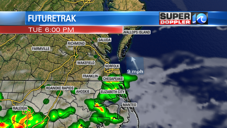
We’ll essentially have a carbon copy of today for tomorrrow (Wednesday), but just a touch warmer. Highs should again be up near 90° with a few afternoon/evening showers or thunderstorms. The typically summer pattern continues for the rest of the week, too. Thursday looks hotter with highs into the mid 90s. As of now, the weekend looks to shape up nicely with highs in the 80s.
Meteorologist Steve Fundaro

