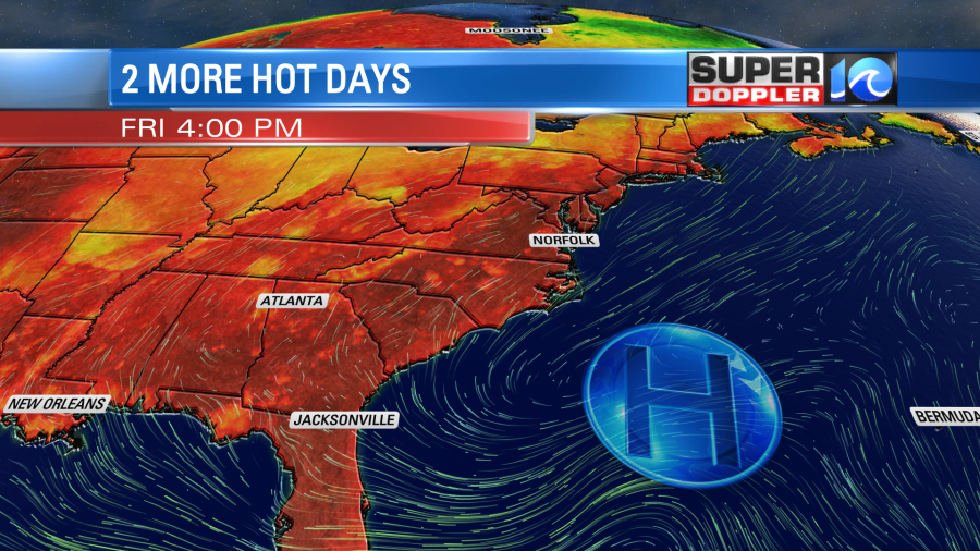
We’ve had several days in a row with high temps in the 90s and heat indices near 100 degrees. We’ll have that happen for a couple more days with our Bermuda High heat pattern still in place.
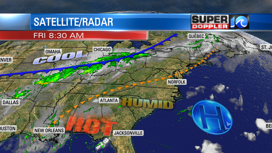
High pressure is offshore. There is a very sluggish cool front over the Midwest.
Our local high temperatures will run up to the mid 90s this afternoon. The heat index will be between 98 and 101 degrees. We’re still not breaking any records, but it is a few degrees above average. We’ll be partly cloudy today with isolated afternoon showers and/or storms. There will be a little higher chance for rain in the evening.
Tomorrow we’ll have similar weather. High temps will be in the 90s. The heat index will be near 100. There will only be some isolated showers and storms during the day. However, there will be a line of showers and storms arriving tomorrow night.
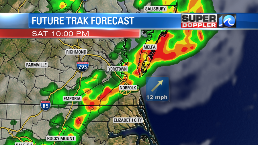
Some of the rain may be heavy at times. This won’t be the cool front. That will arrive on Sunday. We’ll have a mix of sun and clouds with scattered showers and storms. However, the high temperature will be more in the upper 80s. This should give the A.C.s a little break, but the humidity will still be up through the day. We’ll be cooler and a little drier Monday into Tuesday. High temps will be in the mid 80s. That cool front will stall out near the region. So we’ll have more scattered showers and storms.
In world news… There was a really bad flood in Germany the other day. It has caused at least 100 deaths, and over 1,000 people are missing. Some of the photos coming out of there look like a tsunami hit. However, this was from a rainfall-induced landslide. Here is the article with more information: Historic Flooding In Germany.
Meteorologist: Jeremy Wheeler