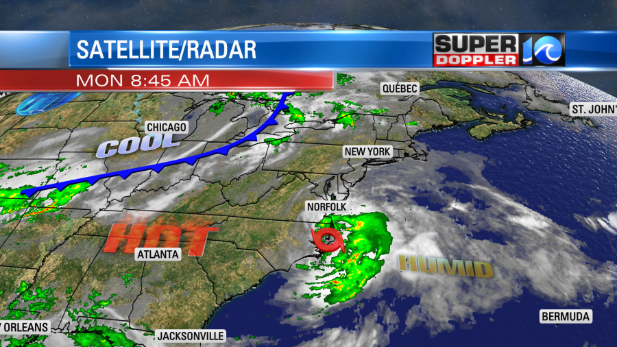
This morning Claudette was quietly streaming east/northeast through eastern North Carolina.
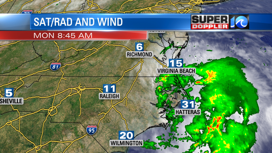
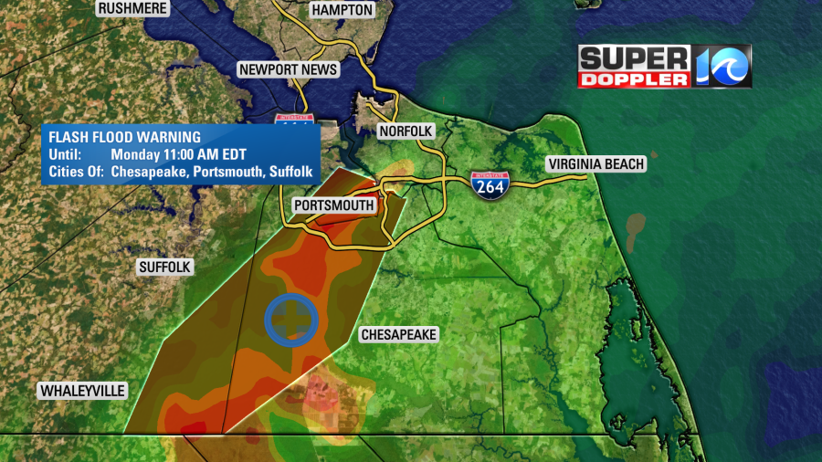
There were some pockets of heavy rain along a band that stretched north of the storm. There was even a Flash Flood Warning over parts of Hampton Roads.
However, the strongest winds were to the southeast of the center over the Atlantic and near Hatteras. We’ll be spared any strong winds today with the exception of the southern Outer Banks. There may be a little nuisance to minor tidal flooding over the Outer Banks, but that will be on the Sound-side. It will actually be more from the westerly winds that develop later today behind Claudette. Claudette will stream fast out to sea this afternoon. It will be long gone by tonight.
There is some quiet/hot weather behind Claudette that will move in this afternoon.
We’ll become partly cloudy with high temps rising into the low 90s. It will be very humid as well. We’ll have a west breeze at 10-15mph. Tomorrow a strong cold front will drop down to the south. We’ll have increasing clouds with an increasing chance for showers and storms.
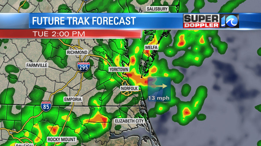
Rain will be heavy at times. We could see 1-2″ of rain over a larger area tomorrow. Some strong to severe storms will be possible. High temps will be a little cooler in the low-mid 80s. The breeze will actually be stronger tomorrow ahead of the front. Winds will run out the southwest at 10-15mph with gusts up to 25mph. They will turn out of the north in the afternoon. The rain and storms will continue into the early evening. Then they should taper off by later tomorrow night.
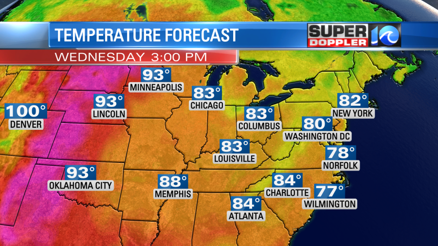
We’ll really cool down behind the front on Wednesday. High temps will be in the mid 70s with partly cloudy skies.
It will be awesome outside! We’ll stay cool and dry on Thursday with highs in the upper 70s. We’ll warm up a bit on Friday with some scattered showers and storms returning.
Meteorologist: Jeremy Wheeler